Skip to content
53GB
Free system video tutorial
Home
script
Software
Server
Back end
SQL
Network
Computer
GPT
Other
Privacy Policy
Menu
GIS
SQL
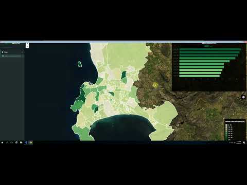
Enterprise GIS Portal Developed Using PostgreSQL PostGIS, OpenaLayers, GeoServer
1 year ago
SQL
Lesson 20: Configuring the System DSN for MongoDB
1 year ago
SQL
How to import shapefile in PostGIS || PostgreSQL
1 year ago
script
GIS: Creating Shapefiles from MS SQL using ColdFusion/Java?
1 year ago
SQL
GIS: Using MS SQL 2005 as the data store in GeoServer
1 year ago
Back end
Building Web GIS Apps with C# ASP.NET CORE MVC and Leaflet – Part 1
1 year ago
SQL
GIS: Use a SQL 2005 table as attribute data in QGIS
1 year ago
SQL
Load a MSSQL2008FeatureLayer: Map Suite MVC Edition Sample App Walkthrough
1 year ago
SQL
👷🏻♂️ QGIS que es y para que sirve, curso, instalar, requisitos
1 year ago
Software
Accelerate Java and Android Development with Kotlin
1 year ago
SQL
Les bases de PostgreSQL et Postgis
1 year ago
SQL
GIS: Importing Tables from MSSQL to QGIS with no geometry – Point Data X Y
1 year ago
SQL
SQLite layer in QGIS
1 year ago
SQL
GIS: QGIS 2.0.1 linking table issue, MSSQL 2008 database
1 year ago
Software
04 Membangun Web Desa Codeigniter 4 – Merancang Database
1 year ago
Software
36 Membangun WEB GIS Sekolah Codeigniter 4 – Pemetaan Sekolah Per Jenjang
1 year ago
Software
06 Membangun Web Desa Codeigniter 4 – Login Part 2
1 year ago
Software
01 Membangun SIAKAD Sekolah Codeigniter 4 – Persiapan
1 year ago
Software
05 Membangun Web Desa Codeigniter 4 – Login Part 1
1 year ago
SQL
GIS: Connecting to MSSQL 2008 R2 with QGIS 2.0.1
1 year ago
SQL
GIS: Why don't my polygons from MSSQL2008 display in QGIS?
1 year ago
SQL
How to join MSSQL(CAMA) to ArcMap
2 years ago
Posts navigation
Previous
1
2
53GB.COM
GPTSTORE
CPU
Yougpt
Gptsio
Gpt-store-Nav